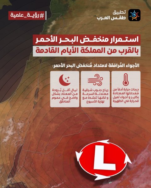
Jordan: The Red Sea depression will continue to affect the Kingdom in the coming days, accompanied by 3 key points.
Arab Weather App - The latest computer forecasts indicate that Jordan will remain under the influence of what is called the Red Sea Depression, which is a surface low-pressure system that is active during transitional seasons, including autumn. This depression is expected to remain near the Kingdom during the coming days and is accompanied by 3 main weather conditions, summarized as follows:
The weather conditions accompanying the extension of the Red Sea depression towards the Kingdom
- Temperatures will remain warmer than their usual averages by more than 5 degrees Celsius, and therefore the atmosphere will be closer to summer, as it tends to be hot in the afternoon and evening hours in all regions of the Kingdom, while it will be relatively hot in the rest of the regions.
- The winds will be moderate southwesterly in general, but they will become active at times towards the end of this week and will raise the levels of dust in the atmosphere.
- Nighttime temperatures are less cold than usual at the beginning of November, and the weather is unusually pleasant.
Why isn't this low-pressure system accompanied by rain?
The Red Sea trough typically brings rain when it is accompanied by a cold, moist air mass in the upper atmosphere, along with the influx of tropical moisture from the south. These conditions create ideal conditions for the formation of cumulonimbus clouds, resulting in scattered thunderstorms across the Kingdom. However, during these days, the weather system lacks the influx of cold air masses from Europe towards the Levant and northern Arabian Peninsula in general, thus rendering the trough ineffective in terms of rainfall.
We ask God to send us rain and not make us among those who despair.

Browse on the official website