According to the Kingdom's climate archive, when will the activity of the Khamasin depressions end, and are there any Khamasin cases in the near future?
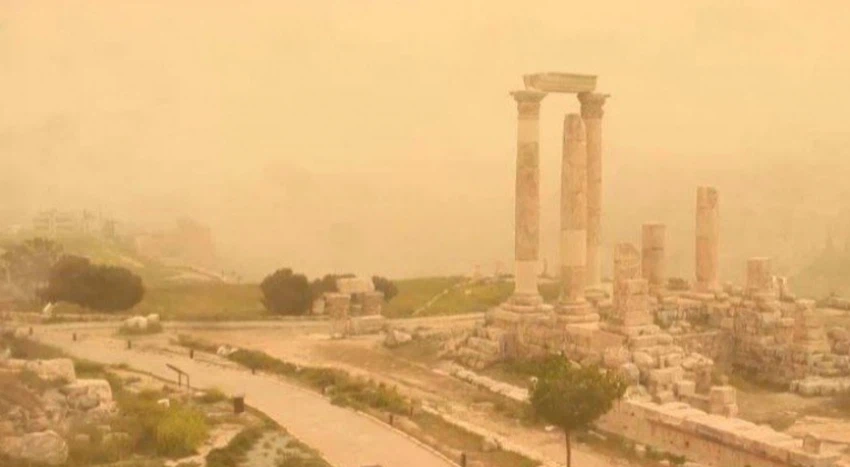
Arab Weather - The Khamaseen depressions are thermal air depressions that originate south of the Atlas Mountains in the Maghreb due to temperature differences between the land and sea waters. They continue eastward along the northern coasts of Africa, reaching the eastern Mediterranean and the Levant laden with large quantities of dust and suspended particles.
The Khamaseen depressions are often accompanied by warm, dry southern currents that raise temperatures. These are also called Khamaseen winds and are laden with dust. Therefore, when they blow towards the region, the weather often turns hot, dry and dusty.
According to the Kingdom's climate archive, the Khamasin depression's activity period normally begins with the onset of the vernal equinox on March 21 and extends until May 10. However, in some years, it begins earlier and extends for longer periods. However, in general, the Khamasin depression's activity gradually declines as mid-May approaches.
After the last Khamasin depression, are there any indications of other Khamasin depressions?
Current indicators, according to the latest weather maps issued this evening, Wednesday, April 23, 2025, indicate that the region will remain under the influence of moderate spring air masses for the next 5 days, and indicators are increasing of the approach of a Khamasin low pressure system and a hotter air mass towards the end of the month. However, weather forecasts for more than 5 days are often considered within the medium and long-term period and are relatively volatile, so we recommend constantly following the Arab Weather app and the latest weather updates.
Browse on the official website