Thunderstorms return to these areas on Saturday and Sunday

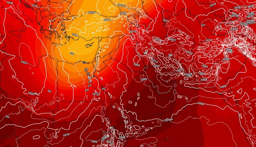
Arab Weather - After the country was affected yesterday by a Khamaseen depression that brought with it dust waves and sandstorms that affected large areas of the republic, weather forecasts indicate that a spring air mass will dominate the region's atmosphere over the weekend, accompanied by a cold upper trough centered over the eastern Mediterranean basin.
Temperatures are expected to remain in the early to mid-twenties Celsius in the capital and northern regions, amid moderate spring weather across the country and warmer weather in the south.
Unstable weather conditions will affect the northern regions on Saturday and Sunday.
Weather maps released by Arab Weather indicate that a cold upper trough is expected to deepen the region's atmosphere on Saturday and Sunday, coinciding with the flow of warm, humid winds in the upper layers of the atmosphere coming from the south. This will create a surface response and form cumulus clouds in parts of the northeast of the country, accompanied by thunderstorms, including parts of the Delta, especially the east, and parts of Lower Egypt, reaching Greater Cairo, including the capital, and parts of the Sinai Peninsula.


Arabia Weather App
Download the app to receive weather notifications and more..